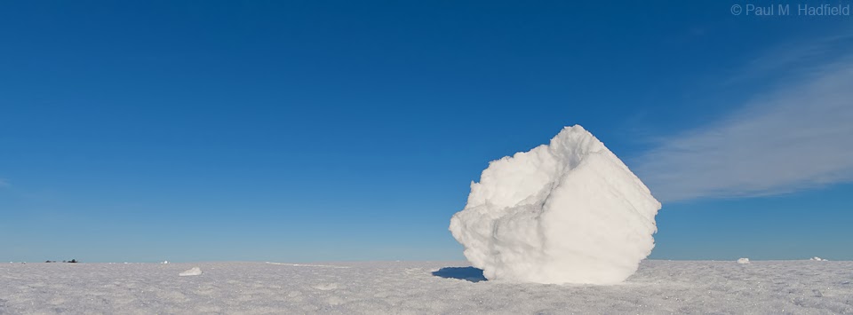
Like January, this month has been exceptionally busy hence the lack of postings as I have fallen sorely behind. Rather than add entries in sequence, I wanted to make available what is among the more significant events thus far and will deal with the rest later. During the overnight heading into Thursday February 20th we had a complex of elevated thunderstorms with lightning lift through the region. What made this unique is that they passed over existing snowpack resulting in an unusual photographic experience conveniently falling on my time off.
Looking SE over Decatur, no lightning, just a scene that caught my attention.

Looking W


NW with the 300mm

Later that afternoon, severe weather possibilities were expected with a strong cold front passage. What wasn't expected necessarily was a robust local tornado threat to materialize. It was through social media that I learned of this potential although for being without transportation, I didn't anticipate that I would be going anywhere. Thankfully my friend had a seat come available at the last minute so together, we headed to west of Springfield to greet an incoming complex of severe thunderstorms.
Under the anvil of the most dominant cell.

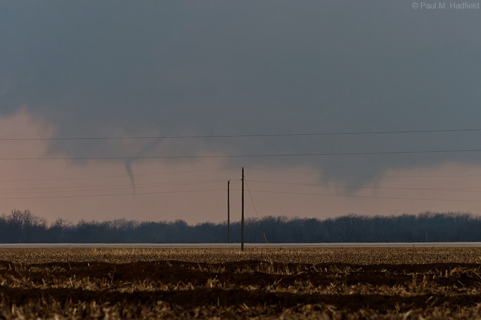
Rather than head on in towards the area of greatest concern, we hesitated for thinking that other storms to the south might compete with this one and cause it to weaken. Such did not happen and instead, it earned a tornado warning for which we opted to move closer versus abandon. Pausing created unfortunate delay but from a considerable distance we could see a slender funnel. Instead of continue getting closer, we pulled off for a few shots while it was still occurring. This would prove wise for within a minute or so of our initial encounter it was gone.


After roping out, we continued further west to clear the power lines thinking it might redevelop upstream but it did not.

Referencing the
National Weather Service Survey, I mapped an approximate path along with our position to give perspective. Other than our dot, this is NOT intended as an accurate or official graphical representation. Due to the obvious distance I had to use my 300mm lens which has been the common tool for my last few tornado encounters. It was rated EF0 with peak wind of 80MPH and thankfully no damage reported.

Backtracking east so to stair step north and get into better position, a brilliant rainbow that did not turn out so well.

A separate smaller cell developed to the south of the former storm that despite continued warning had become messy. With it, we observed a brief slender funnel that naturally drew back into the cloud as soon as we stopped. Opting to let the old storm go for thinking this would intensify, it did not but was interesting to watch no less. South winds laced with leaf debris and snow fog were ripping across the fields.
Wide

300mm

The old storm is now well to our north in the hazy area with the secondary cell of interest being middle center.

Allowing the line to pass over, we would find ourselves dealing with rural flooding due to rainfall and snow melt on minimum maintenance roads. The adventure would essentially be over for us however, we did observe the back side and some interesting features along it including under the lower right taper.

Yeah, yeah, who knows? Just having fun...

The cell would go on to become tornado warned for Dewitt County.

As the line raced east all we could do was appreciate the back and wonder what was happening down in Christian County where new tornado warnings were ongoing. No images but we did pass by Illiopolis to observe downed power poles and sheet metal in a field along Old 36 left in the wake of the Mechanicsburg tornado that was rated EF1. Post frontal passage winds were howling with a record breaking 63 MPH gust observed at nearby Springfield.

Home

Friday the 21st.