Wednesday, May 29, 2013

Strange Catch

Watching a line of strong storms over western Illinois that collapsed into an approaching outflow boundary, I stuck a camera out the window and shot continuous in the hope of getting an arcus cloud illuminated by intermittent lightning. On arrival it was somewhat disappointing visually although there was a fairly significant gust front that made things a little breezy till it passed. What would be interesting though is that on review of the images, those which had the only available lightning being generated by a small cell going up ahead of the main line revealed the possibility of either a brief landspout or leading edge spin up. The cell was lifting from the SW whereas the surface outflow was traveling SE. The small scale shear as result of this boundary interaction may have been enough to create a short lived vortex that would quickly be undercut by the incoming gust front. Velocity from this time shows a very weak curl and upon consultation with the local weather service, they concur it may have been. The moment will forever remain inconclusive but I thought it was worth a blog post. Though unrelated to this incident, a separate overnight storm up near Chicago produced a brief EF0 Tornado.


Animation sequence with only the lightning captures.


Full animation, note directional change with outflow passage.

Tuesday, May 28, 2013

Memorial Day Storms

Little did anyone expect that an MCS (mesoscale convective system) moving into the region yesterday would undergo significant intensification resulting in a widespread damaging wind event. When I left to check out the incoming squall line, there was no warning nor much happening on radar per velocity. Heavy precipitation developing ahead of the main line was discouraging but the higher returns on velocity once the severe thunderstorm warning was issued had my interest. Moving southwest towards Edinburg, a tornado warning would be issued for an area northeast of Springfield and tracking out of the existing warning. Already in position for my area of initial interest, I would quickly go north and get a brief peek at the southwest flank of the tornado warned segment before being overtaken by heavy rain and high wind.


Within the existing severe warning and SW of the tornado warned segment, this is the area of my initial interest. Wide angle lens pushes it back but this wasn't a very photogenic situation anyways due to nuisance rain and time of day.


Now N and in the vicinity of Mt. Auburn blacktop, looking at the SW flank of the tornado warned segment. No telling what it was doing up in there but it appeared predominately outflow vs. tornadic. You can see a downburst rain foot develop and jut away from the main core.


A little more contrast helps pull out a slightly wrapped area with a funnel cloud descending on the leading edge. Though I don't have a radar capture from the moment, this may have been one of several small higher returns noted on velocity. When you hear of leading edge spin up's, sometimes they look like this, other times not. I don't know that it amounted to much if anything.


The line would overtake me at which point it was game over and I carefully headed back to town. Heavy rain and intense wind would make for an interesting ride as I dodged tree debris. Arriving back at Decatur, I was stunned to see significant aftermath including downed branches, trees and an array of property damage. The dumpster was blown a good ten feet or so and it's not even on wheels; note the scrape marks.


More flooding, farmers can't get a break it seems.


Distant Tower vs. Distant Tower


STORM REPORTS C/O SPC

WAND TV COVERAGE

STATE JOURNAL REGISTER COVERAGE

Video by Area Chaser Kevin Radley

Sunday, May 26, 2013

Daybreak Storms

A slow moving predawn complex firing on an elevated boundary had some intermittent lightning so I stepped out. Though unsuccessful with truly significant captures, the light of dawn at 5:33 AM CDT filtering through the downstream canopy on the eastern side between Decatur and Springfield was somewhat remarkable. Colors are true to the moment and I am glad to have been out at this early hour which is a rare opportunity for me.


c/o RadarScope


Tuesday, May 21, 2013

Sangamon/Logan County Sub-Severe

Central Illinois finally got a taste of the massive system out west though it was far from being that of the heart wrenching catastrophic intensity felt in the Southern Plains. A severe thunderstorm lifting from the SW near St. Louis would lose its warning at Springfield but still be an active intracloud as well as sheet lightning producer with a few CG's thrown in for good measure. Numerous farmers dotting the fields could be seen taking advantage of the recent lull in precipitation as they worked late into the night and in spite of the advancing storm.


Now in Logan County south of Lincoln


For those wondering how to help, do it today!

Credit: Weather Decision Technologies

It goes without saying regardless of where you live or how little of an interest you possess in all things atmospheric that having a weather safety plan is absolutely critical. This is not reserved to simply thunderstorms and tornadoes but a myriad of scenarios that could quickly get out of control if left unchecked. In a society that is more connected than ever all the way down to customized conditions based upon a personal GPS location, the excuse of "we had no warning!" is no longer valid. The best defense is to arm yourself with KNOWLEDGE FOUND HERE.

Thursday, May 16, 2013

Assorted Pulse Storms

Around 10 PM CDT a line of highly charged pulse storms fired in the vicinity of I-72 so I left early for work.

18 minute image stack captures a flaring satellite.


Single frame.


Attention was on distant lightning to the extreme SW when another little rouge cell fired within reasonably close range and put on a show with the moon.


Later at work with separate activity to the N.


Tuesday, May 14, 2013

The Morel of The Story Is...

After having visited a few regional natural areas and coming away unsuccessful in my search for morels, I expected yesterday to be no different...


Then it happened! and not only did it happen but it went big in that I encountered another forest wander who appreciates this elusive delicacy. So what is The Morel of The Story? In whatever it is you are seeking, Never Give Up!


A secondary cluster tucked well away under some brush through the 300mm. The foreground one exhibits signs that perhaps other "forest wanderers" were fortunate enough to stumble upon their own success.


Friday, May 10, 2013

Wall Cloud at Niantic Illinois

On a day when the majority of the weather and chaser community thought nothing would go down, mother nature once again stepped up to show us who is in control. Morning rain that was believed to have made the atmosphere less than favorable for afternoon thunderstorm development kept most inside being that there was little more than a few showers dotting the region. As for myself, I was watching an MCV (mesoscale convective vortex) coming out of Missouri on radar but dismissed it for cool, cloudy, stable skies were in place. Though I dipped out to have a better look at conditions away from the city, I was not impressed and instead, dropped down to Griswold Conservation Area in Blue Mound to hunt for morels with the camera. While there it began to rain at which point I happened to look out from a west facing clearing to see a wall cloud in the distance near Edinburg. Checking my phone for verification I was stunned to see a mild couplet on velocity indicative of rotation. Immediately leaving out and in the direction of this feature, I would end up in perfect position to intercept a separate cell with strong rotation to form between myself and the far western one. This cell would wrap up HARD from between Illiopolis and Niantic IL in the vicinity of I-72 and Old US 36 that for those wondering, runs all the way from Indiana to Colorado. The motion on this cell was so impressive that I notified the National Weather Service who were watching as well. Pulling over from just W of town, I managed to pop off a few shots and video during peak intensity. As was the case with everything to develop so rapidly this day, the storm became elevated and lost much of it's vigor just as quick. I would follow the storm and relay this information as well. Meanwhile, to the south in Christian County, a photogenic tornado developed near Owaneco that I could have easily intercepted had I not been so enamored by the distant wall cloud to my west. In hindsight being that I was able to photograph two unexpected storms that to my knowledge went undocumented while other locals got the tornado, it all worked out.

Velocity scan from the "magic moment" including the early cell observed at Edinburg but now near Buffalo (1.), the Niantic cell at the moment I intercepted and was calling in strong rotation (2.) and lastly, the Owaneco tornado in progress (3.). I am unsure why these areas weren't warned but believe that perhaps upper level activity did not meet warning criteria threshold despite surface boundary interaction that was quite literally flying "under the radar". This was a prime example of why spotters and people in the field are so vital to the warning process. I was only able to contribute for happening to be out and in the right place at the right time.

c/o RadarScope

Facing W from Blue Mound at the first cell near Edinburg to capture my attention. To give an idea for scale and distance, I am shooting through the 300mm which gives the impression of closeness but was roughly 13 miles away. The persistent scud fingers in the middle are associated with the developing mesocyclone that would become the Niantic cell though I dismissed them at the time.


The cell is now close to Buffalo and was drawing up insane amounts of ragged low level scud. Cursing myself for the distance and inability to make positive identification on the activity occurring, interest quickly abated with the realization of what the foreground cell was exhibiting.


What would become the Niantic cell took precedence for as I paralleled it on Four Bridges Road (CR 2025), when it crossed I-72 to my left, dangling scud fingers rapidly carouseling around inside the parent wall cloud led me to think it might produce a tornado so I called it in. Completing the call and getting into position as it pulled away to the N, I am shooting wide so it is much closer than appears though I was in no danger. RFD (rear flank downdraft) blowing around the back from L to R caused the power poles to strain but fortunately not collapse. For all I know, a ground circulation could have easily been occurring however with so much happening all at once I did not notice.


Following the storm, it would become cold and not pose the tornado threat it did during initial encounter. I would also call this observation in for just as important as warning issuance is, so too is warning restraint to curb unnecessary panic or use of resources. At this time as luck would have it, National Weather Service public radar feed unexpectedly went down. Yet another example of why eyes in the field are so important. Letting the storm go and getting caught up on social media regarding the 
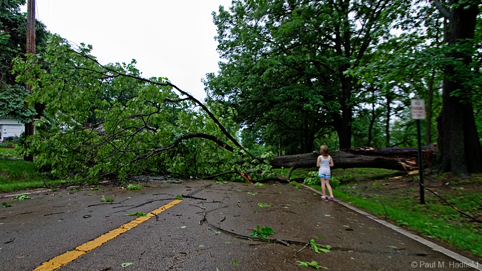
Owaneco Tornado, May 9, 2013 was another lesson in why you don't turn your back on even the most marginal of setups.


Much later during the "blue hour".