
Within the existing severe warning and SW of the tornado warned segment, this is the area of my initial interest. Wide angle lens pushes it back but this wasn't a very photogenic situation anyways due to nuisance rain and time of day.

Now N and in the vicinity of Mt. Auburn blacktop, looking at the SW flank of the tornado warned segment. No telling what it was doing up in there but it appeared predominately outflow vs. tornadic. You can see a downburst rain foot develop and jut away from the main core.


A little more contrast helps pull out a slightly wrapped area with a funnel cloud descending on the leading edge. Though I don't have a radar capture from the moment, this may have been one of several small higher returns noted on velocity. When you hear of leading edge spin up's, sometimes they look like this, other times not. I don't know that it amounted to much if anything.

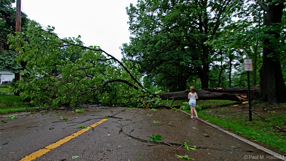
The line would overtake me at which point it was game over and I carefully headed back to town. Heavy rain and intense wind would make for an interesting ride as I dodged tree debris. Arriving back at Decatur, I was stunned to see significant aftermath including downed branches, trees and an array of property damage. The dumpster was blown a good ten feet or so and it's not even on wheels; note the scrape marks.


More flooding, farmers can't get a break it seems.


Distant Tower vs. Distant Tower


STORM REPORTS C/O SPC
WAND TV COVERAGE
STATE JOURNAL REGISTER COVERAGE
Video by Area Chaser Kevin Radley
1 comment:
that was very good.
Post a Comment