The post below has been sitting in the queue for awhile and is of the least of my concern other than as a vehicle to deliver the most difficult announcement of my life being the sudden unexpected passage of my daughter's mother Mandi Morlan (
obituary). On the morning of the 22nd she had a stroke that despite the timeliness of our action was too severe. I'm not comfortable in making this acknowledgement publicly but the past two weeks have been so unimaginably overwhelming that it just needs to be said. With respect to this blog and what I am known for doing, the future is questionable as my attention is wholeheartedly focused on our daughter while we deal with this grossly unfair tragedy. The amount of compassion extended to us in this extraordinary time has been humbling and we are exceptionally grateful. She was my right hand with an answer for everything, there really are no words to describe our loss.
Evening of the 28th.

~~~~~~~
Monday October 13th was a bit hectic across Central Illinois and more specifically my area. Though storms with the potential for producing severe weather were in the forecast, the thinking was that it might not happen due to limited instability and cloud cover despite adequate shear (turning of winds with height). Awaking that day and looking at radar, widespread showers led me to believe that it was just going to be a gloomy afternoon. A circulation center noted on radar lifting from near I-70 caught my attention so I got up, heated some coffee and casually hit the road. With it being a holiday I had time to spare and saw the opportunity to do some local leaf peeping while moving to position where it would pass as to potentially get a structured shower against fall color. Still well south at Assumption, it began to take on better definition as well as earn tornado warning. By now I was on the east side of Decatur near Long Creek and simply waited, knowing it would not be long till arrival given that it was moving at about 40 MPH. Ideally I would've liked to have been south where a stronger tornado occurred and might have had I been aware that there was a mesoscale discussion for our area. Instead, I didn't bother to look at anything including social media and went on straight visual based upon radar trend. Somewhat proud that I made my own 'forecast' for simply looking at rain though I should have been more attentive.
Waiting...

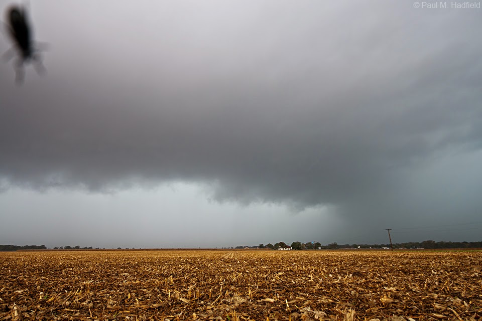
The storm as it approaches the southwest side of Mt. Zion and an unnoticed hitchhiker inside the hood!


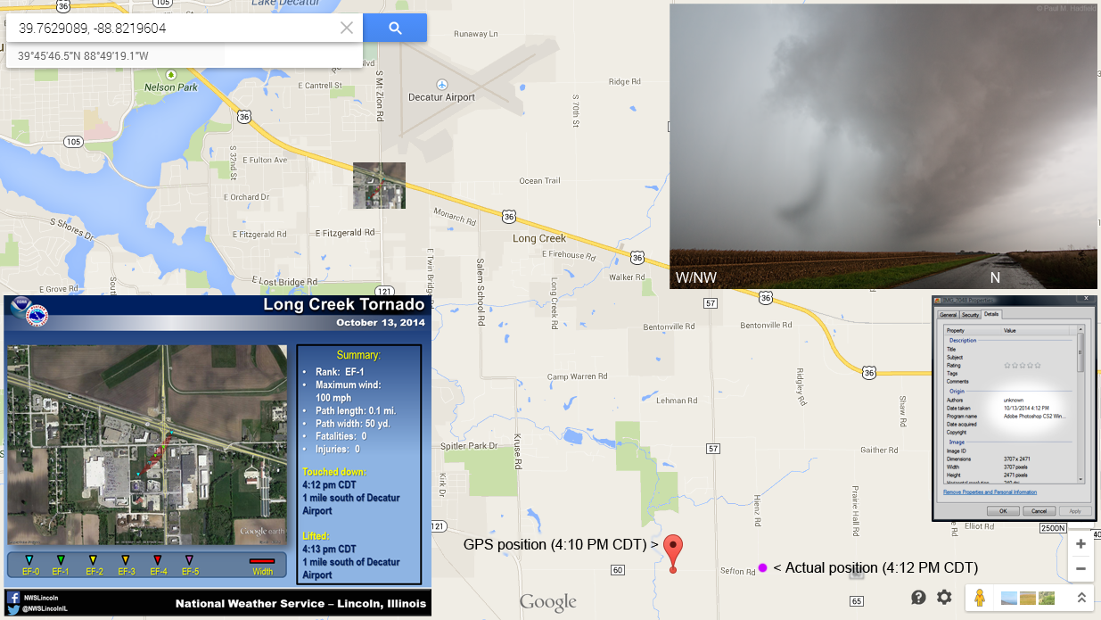
Quickly re-positioning as to be closer to the area of greatest concern, this shot was initially dismissed as an unknown lens anomaly. On comparison to the file exif data time stamp and my GPS location with respect to the official weather service
SURVEY, this is in fact the EF1 tornado to spin up over the US 36/121 juncture. I was so enamored by the strong upper rotation that I never noticed what was happening at the surface but there too, I was in this spot for a minute and nine seconds per corresponding video time length reference. Unfortunately, the tornado is just out of frame on video because unlike my 10-24 wide angle, my dated little Handycam does not have the same range. I just set it up and walk away but there too, was not expecting to document anything other than structure. Of the three shots popped off in this moment, I wish I would've been vertical for the first as to know what it looked like beyond the upper edge and high into the updraft. This is surely a rare example of what a true spin up looks like in an HP (high precipitation) environment literally seconds before occlusion.

4:12 PM above, 4:13 below.


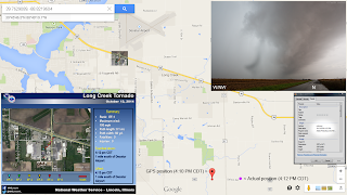
Continuing to northeast of Cerro Gordo.


Though impossible to see surface activity for crop interference, the storm is now over rural Argenta and producing again per the survey to file time stamp comparison. From here I let it go for being low on fuel with no nearby options available; another oversight for being inattentive and lax. Hindsight being what it is, don't let your guard down on a low instability setup if there is ample shear present.

Later that evening.