


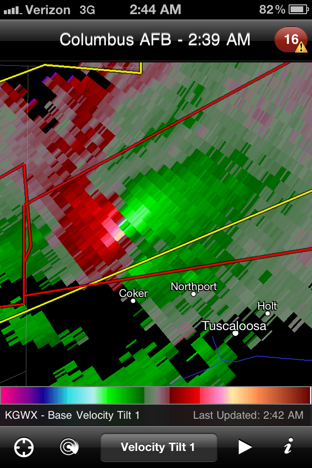
Turning attention towards evening, cells erupting across the deep south quickly went severe and then tornado warned. This particular screen capture shows two mesocyclones with strong rotation and likely producing tornadoes. The dots are storm chaser acquaintances out on Facebook whose well being I was a concerned with at the time. Velocity and reflectivity images are from the RadarScope for iPhone app.

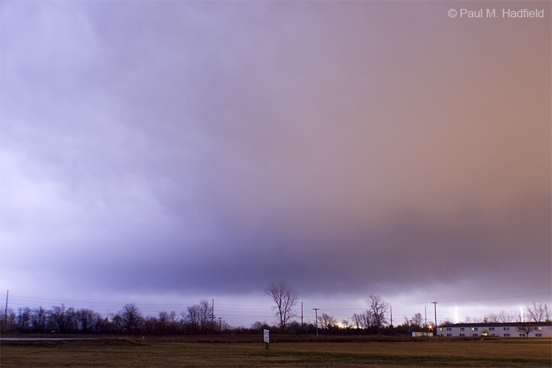
Storms would eventually develop up this way along an advancing squall line but not to the degree of severity as elsewhere. Upon passage of the line and the associated heavy rain, I set up and managed to capture a few of the intense lightning bursts occurring in the stratiform precip region or basically on the backside of the storm. Per the blown out image, I did not see it directly as I was focused elsewhere but for what I did observe, I doubt I would have been able to compensate as it was a multiple return stroke clearly frying something. Radar image is from the time of the shots with my location as blue icon.


Eventually things would quiet down here at which point I turned attention to the ongoing situation in Alabama where unfortunately, numerous violent tornadoes would develop. Those poor people just can't get a break.


1 comment:
Very cool and awesome!
Your the weather Master!
Post a Comment