Monday, May 23, 2011

Sangamon County Severe Thunderstorms

Spent some time yesterday just NE of Springfield IL on a pair of severe warned cells. The first at Cornland which is just N of Buffalo was the more photogenic of the two from which I was able to assemble three panoramas. Although ominous in appearance, the lowering didn't amount to much nor could I really classify it as anything more than an SLC (scary looking cloud). Extreme turbulence made for interesting cloud texture and can be seen in motion via the video found HERE.


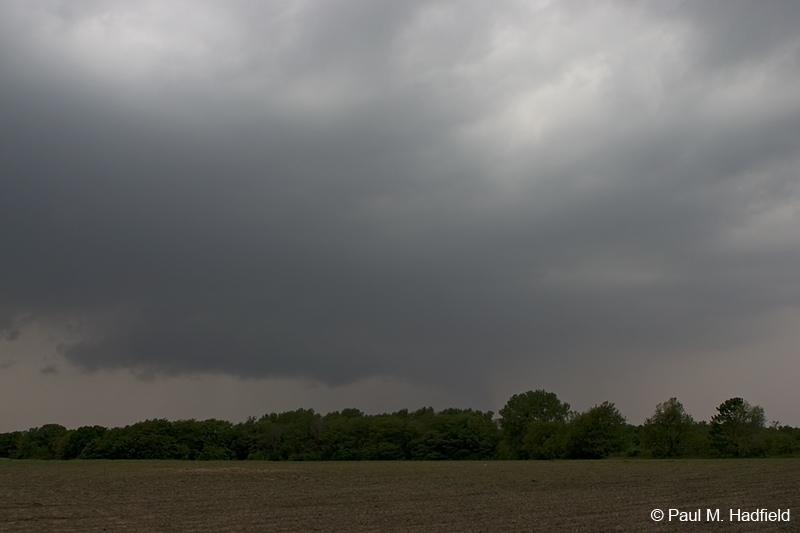
The second cell encountered a short distance away at Dawson offered up it's own visuals. Other than small hail and some gusty winds, both storms were marginally severe at best or at least for where I was anyways.


No comments: