

Back on the morning of January 14th, we had a complex lift through that bore convective characteristics even though the precipitation type was frozen. I fell behind for having so much going on hence dropping it all into this one and be done.


c/o RadarScope
Near 180° panorama of the above radar capture for comparison.


No shortage of these all month.


January 20

Twelve frame image stack of snowfall vs. continuous on-camera flash shots from the 21st.

No shortage of these either all month!

Approaching "Ghost Squall" from the 27th in that this was an area of moderate but extremely fine snowfall that covered the ground and significantly reduced visibility yet had no radar signature.

Above complex now departing complete with sundogs.

The phenomena persisted throughout the day into evening.

Shy beaver from the morning of the 28th.

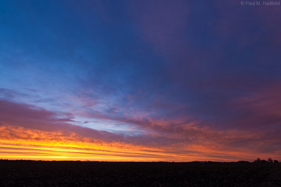
Sunrise from the 30th in advance of yet another system ends the month on a high note.


2 comments:
oh thank you for such beautiful sky photos
Where did you learn so much about the sky and weather?
I envy you the horizons
Thanks, there is far more that I don't know than do thus every experience is part of an ongoing learning process.
Post a Comment