Friday, December 02, 2011

March 11, 2006

Most people who were paying attention to the event will never forget the historic, record breaking Six State Supercell of March 12, 2006. Nearly 24 hours prior to it's passing through the region however, we had another severe weather event that up until now I did not really bother with except for maybe the first of my pictures. Editing experience along with a clever technique have enabled me to bring new life into old shots from this night that otherwise would never be seen for having been sorely underexposed.

Already under a tornado watch by nightfall, an MCC (mesoscale convective complex) prompting severe thunderstorm warnings in counties to the W churns across the state. Though our county would not earn warnings, others to the immediate N, W and S would. Radar archive images c/o IEM.


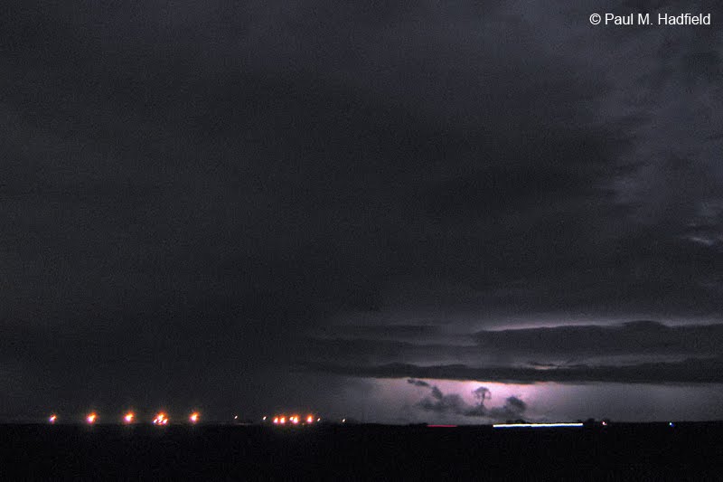
From inside my vehicle I tried to capture the intense lightning out ahead of the cluster with the following being my first push button CG capture. There otherwise wasn't much to see however, in review and heavy editing, the camera did pick up cloud details including a shot from just before the heavy rain set in. The dark mass to the left is a rain shaft approaching from the SE as you face W. The time stamp indicates that it was most likely the lead edge of the unwarned red core located SE of the warned area in the above radar image.


On passage, attention turns toward the S.


Facing SE and again trying to pick up lightning once the heaviest rain exited. What makes all these low quality JPEG's somewhat cool is an editing technique I have been recently applying when appropriate. Upon lightening, there was of course tremendous noise for which I then added noise reduction. Ending up with a much softer, milky image I then reintroduced noise in Photoshop by a factor of 7 that in turn helped mask imperfections and create uniform texture throughout the scene. Though they are far from ideal (as these are also second generation saves on the host end which contributes to web publish degradation), it is nice to finally be able to present pictures that have not been previously viewed.




and finally, a quick edit featuring the infamous storm of the following night as seen from S of Latham IL using the same technique.

Monday, November 28, 2011

January 2, 2006

Continuing with the seemingly endless task of sorting through old pictures, I stumbled upon a series of unpublished images from an event I did not bother with as it wasn't very photogenic or interesting at the time. Since there isn't much going on right now I figured it might be worth another look.

On the morning of January 2, 2006 while watching TWC at work, an approaching system producing tornado warnings from outside of St. Louis was top news for the 6 o'clock hour (click for more info). Lifting out of the SW and expected to maintain intensity, a tornado watch was issued for the greater Central IL region. Timing as such to coincide with when my shift ended, I headed S to just N of Moweaqua IL in an attempt to observe a cell that appeared promising upon final glance before leaving. I wouldn't have data for another two years and instead, relied exclusively upon my Oregon Scientific Weather Radio for updates. Unable to get far enough S on US 51 so to be in the best position for the cell I was most concerned with, I pulled off and allowed it to pass to my S. The motion with the incoming line N of this area was still very intense and as later learned via conversation with the Weather Service, an unconfirmed tornado report was made with this particular cell. No mention of it appears on the SPC page for this day but to know that I may have missed something significant despite being so close is still disappointing. This could have potentially been the day of my first tornado observation but then again, who is really expecting to see such on a January morning? Looking back to the time before now when weather information is so easily available to anyone with a smartphone or laptop, I have to wonder how many people would still be involved considering the effort it once took to make informed decisions. Likewise, what I wouldn't give to go back to 2006 and the banner year it was for Illinois with the mobile data capability we have at our fingertips now.

Initial activity (archived radar c/o IEM).


Later, I'm at the white dot. Note the area of greatest intensity just below me.


Incoming facing W


Upon passage facing W


facing SE


facing E