Already under a tornado watch by nightfall, an MCC (mesoscale convective complex) prompting severe thunderstorm warnings in counties to the W churns across the state. Though our county would not earn warnings, others to the immediate N, W and S would. Radar archive images c/o IEM.


From inside my vehicle I tried to capture the intense lightning out ahead of the cluster with the following being my first push button CG capture. There otherwise wasn't much to see however, in review and heavy editing, the camera did pick up cloud details including a shot from just before the heavy rain set in. The dark mass to the left is a rain shaft approaching from the SE as you face W. The time stamp indicates that it was most likely the lead edge of the unwarned red core located SE of the warned area in the above radar image.


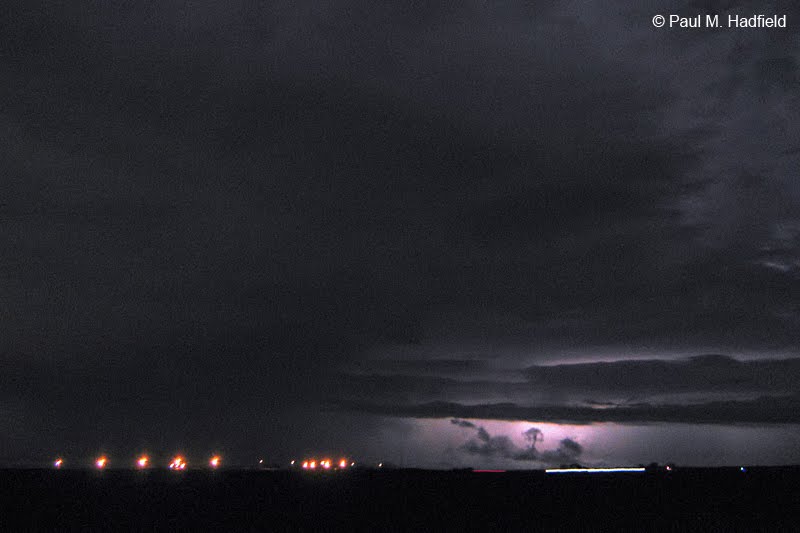
On passage, attention turns toward the S.

Facing SE and again trying to pick up lightning once the heaviest rain exited. What makes all these low quality JPEG's somewhat cool is an editing technique I have been recently applying when appropriate. Upon lightening, there was of course tremendous noise for which I then added noise reduction. Ending up with a much softer, milky image I then reintroduced noise in Photoshop by a factor of 7 that in turn helped mask imperfections and create uniform texture throughout the scene. Though they are far from ideal (as these are also second generation saves on the host end which contributes to web publish degradation), it is nice to finally be able to present pictures that have not been previously viewed.


and finally, a quick edit featuring the infamous storm of the following night as seen from S of Latham IL using the same technique.

No comments:
Post a Comment