I was between Maroa and Forsyth with the energy moving as indicated by the marker. The cell behaved in more of a left split manner vs. north side outflow ejecting from the back.

c/o RadarScope
Facing S
Facing E


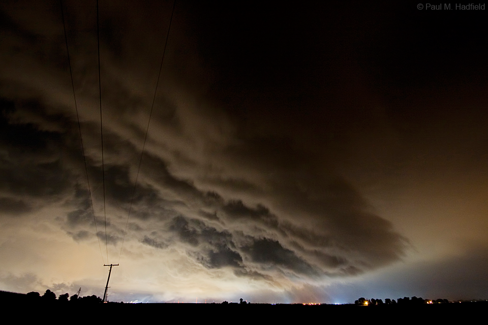
Later to the west and facing east, a large base could be seen looming over Decatur. Surface winds at this time were slightly backed out of the ENE. Note the filtered moon light.

Facing WNW


On passage through the overnight.

No comments:
Post a Comment