Heading out on the morning of Friday March 2nd, I wasn't sure if I should stay closer to home or venture into Southern Illinois where conditions were more favorable for photogenic opportunity. Since it was overcast and somewhat stabilized in the immediate Central Illinois vicinity due to a hail producing severe storm to canvas the region overnight and thinking that the atmosphere might not recover in time, I went south. Below is from Macon Illinois on an elevated cell that may have been producing small hail per the radar capture.


Continuing S, a severe warned cell coming up from near St. Louis taking a similar but more southerly path as the overnight storm caught my attention. Initially it appeared healthy but would weaken on the approach. Positioning myself in Marion County so that the rear flank would go overhead with the strongest area to the NE, the storm would become of lesser interest. In the distance was a large flock of snow geese at rest in a field but out of sight at first. The birds began to stir as the cell drew near and the sound of honks mixed with thunder in the upper levels was surreal. It appeared there came a point where the birds could not handle it anymore and they took to flight in unison. Perhaps it was too late to get out of harms way for they doubled back to land right as the rain curtain swept across the land.
The storm motion was roughly 50 MPH or greater so to switch between lenses while remaining cognizant of the activity was not easy. Though the storm had lost its warning, dime sized hail fell at my location. Video of this encounter is below but wind buffeting unfortunately drowns out much of the goose audio.


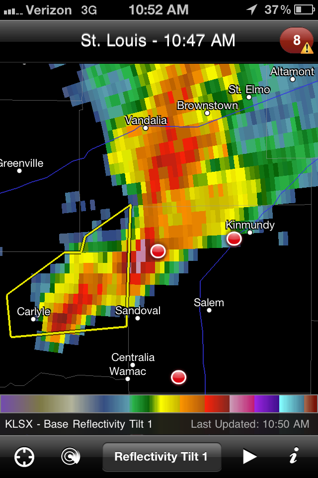
I am at the small purple hail core, storm was entirely outflow dominant.
Dropping even further S down towards Mt. Vernon, I rounded I-64 in the hope of intercepting new storms lifting from Carbondale that quickly went tornado warned. These would become the cells of the day however, I was only able to parallel on the backside with no safe or fast option to get below them. Rather than waste fuel as there was simply no keeping up, I abandoned the line at Mill Shoals and went N towards Flora for new severe warnings back along the frontal boundary. Traveling to Indiana was out of the question anyways as this was a work day.
Below is my closest intercept as they too were hauling along at greater than 50 MPH. Once beyond Flora, they also lost their warning with the second image being from over the famous town of Olney Illinois known for their squirrels as white as the cloud tops. After the line cleared per the final image, that was it for the day and the sunny 70 degree temperatures would quickly succumb to chilly overcast skies and strong WNW winds with gusts at times over 40 MPH.


Other reports and event summaries (more to come as I find them)...
SKIP TALBOT
DAN ROBINSON
CONVECTIVE ADDICTION
NWS LINCOLN
2 comments:
Great pics Paul... It is hard, my heart has been breaking for the people so badly affected by these storms.
Tara
So many stories, it's impossible to keep up. I was particularly saddened by the toddler from New Pekin who lost her family and then passed away herself.
Post a Comment